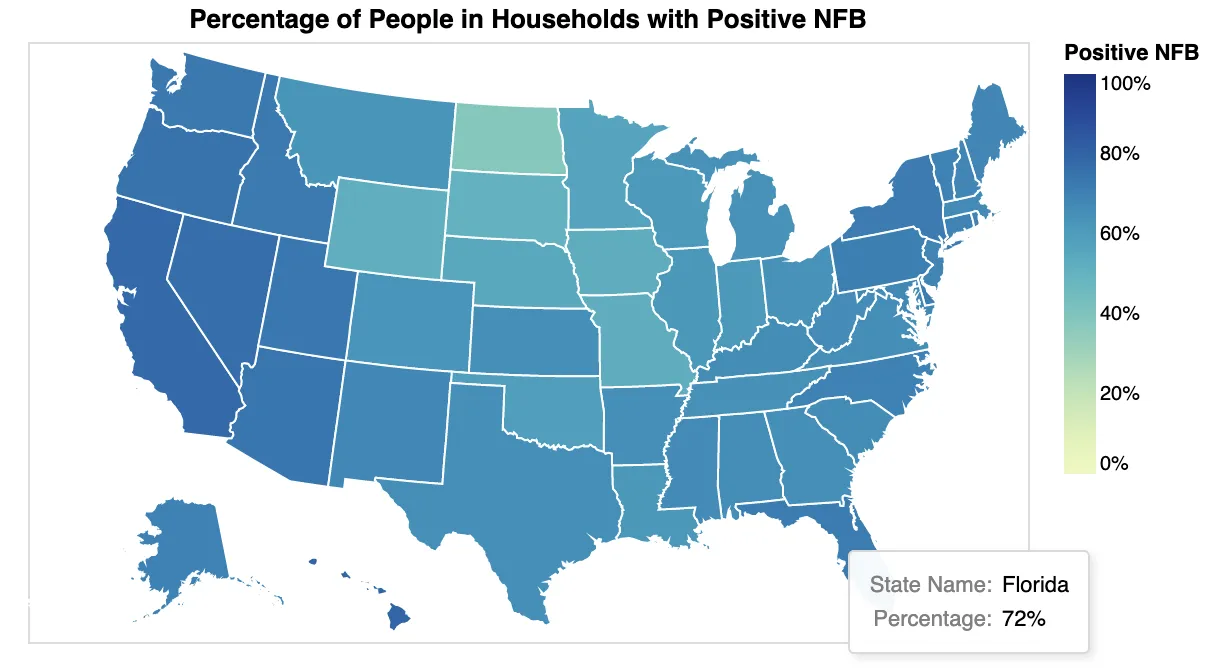
有没有一种方法可以在州地图上添加标签?例如,直接将百分比添加到各个州而不仅仅通过工具提示来查看它们?
我不确定Altair是否有这个选项,或者是否需要研究其他软件包(plotly、folium等)并进行一些分层操作以获得这些结果。
import altair as alt
from vega_datasets import data
states = alt.topo_feature(data.us_10m.url, 'states')
variable_list = ['Percentage', 'State Name', 'state_id']

alt.Chart(states).mark_geoshape(stroke='white', width=0.01).encode(
    color=alt.Color('Percentage:Q', title='Positive NFB', legend=alt.Legend(format=".0%"), scale=alt.Scale(scheme='yellowgreenblue', domain=[0, 1])),
    tooltip=['State Name:N', alt.Tooltip('Percentage:Q', format='.0%')]).properties(title="Percentage of People in Households with Positive NFB"
).transform_lookup(
lookup='id',
from_=alt.LookupData(states_positive_NFB, 'state_id', variable_list)
).properties(
width=500,
height=300
).project(
type='albersUsa'
)