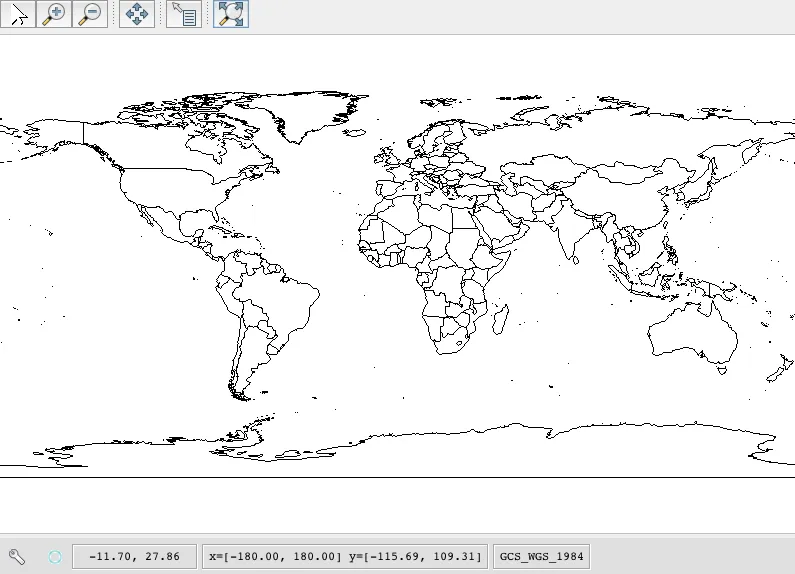
我有一个打开的shapefile,看起来是这样的:
现在我正在尝试从地图上我点击的两个点之间画一条线;然而他们给出的QuickStart.java示例代码异常模糊。
这是他们的代码:
package org.geotools.tutorial;

import java.io.File;

import org.geotools.data.FileDataStore;
import org.geotools.data.FileDataStoreFinder;
import org.geotools.data.simple.SimpleFeatureSource;
import org.geotools.map.FeatureLayer;
import org.geotools.map.Layer;
import org.geotools.map.MapContent;
import org.geotools.styling.SLD;
import org.geotools.styling.Style;
import org.geotools.swing.JMapFrame;
import org.geotools.swing.data.JFileDataStoreChooser;
import org.geotools.geometry.jts.JTSFactoryFinder;
import com.vividsolutions.jts.geom.Coordinate;
import com.vividsolutions.jts.geom.LineString;
/**
 * Prompts the user for a shapefile and displays the contents on the screen in a map frame.
 * <p>
 * This is the GeoTools Quickstart application used in documentationa and tutorials. *
 */
public class Quickstart {

    /**
     * GeoTools Quickstart demo application. Prompts the user for a shapefile and displays its
     * contents on the screen in a map frame
     */
    public static void main(String[] args) throws Exception {
        // display a data store file chooser dialog for shapefiles
        File file = JFileDataStoreChooser.showOpenFile("shp", null);
        if (file == null) {
            return;
        }

        FileDataStore store = FileDataStoreFinder.getDataStore(file);
        SimpleFeatureSource featureSource = store.getFeatureSource();

        // Create a map content and add our shapefile to it
        MapContent map = new MapContent();
        map.setTitle("Quickstart");

        Style style = SLD.createSimpleStyle(featureSource.getSchema());
        Layer layer = new FeatureLayer(featureSource, style);
        map.addLayer(layer);

        // Now display the map
        JMapFrame.showMap(map);
    }

}
现在,我有些困惑的是应该使用哪种方法来点击两个点并在它们之间画一条线?
有没有关于这方面的好资源呢?我已经阅读了GeoTools文档,但仍感到有些困惑。
我尝试使用网站上的通用代码,但它没有出现在地图上。
GeometryFactory geometryFactory = JTSFactoryFinder.getGeometryFactory( null );

   Coordinate[] coords  =
     new Coordinate[] {new Coordinate(0, 2), new Coordinate(2, 0), new Coordinate(8, 6) };

    LineString line = geometryFactory.createLineString(coords);
    Style style2 = SLD.createLineStyle(Color.BLUE, 1);
    Layer layer2 = new FeatureLayer(featureSource, style2);