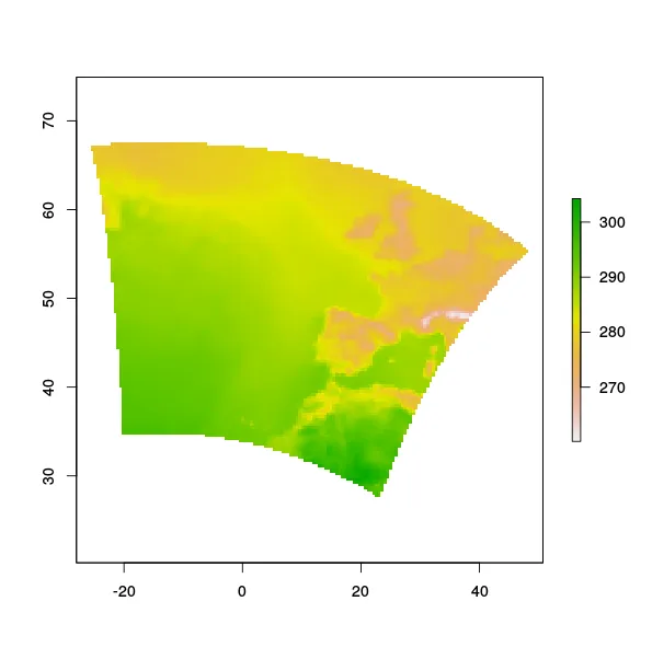
我有一个栅格图像,从netcdf文件中获取,它采用兰伯特等角投影。
library(meteoForecast)
wrf_temporary <- getRaster("temp", day = Sys.Date(), frames = 'complete', resolution = 36, service = "meteogalicia")
wrf_temporary
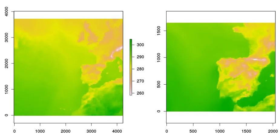
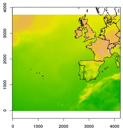
extent : -18, 4230, -18, 3726 (xmin, xmax, ymin, ymax)
coord. ref. : +proj=lcc +lat_1=43 +lat_2=43 +lat_0=34.82300186157227 +lon_0=-14.10000038146973 +x_0=536402.34 +y_0=-18558.61 +ellps=WGS84 +towgs84=0,0,0,0,0,0,0 +units=km +no_defs
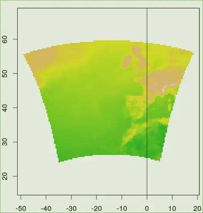
现在我想把那个wrf_temporary栅格转换为"+proj=longlat +datum=WGS84"(纬度经度度数)。应该怎么做呢?我希望得到这样的结果:
    mfExtent('meteogalicia', resolution = 36)

class       : Extent
xmin        : -49.18259
xmax        : 18.789
ymin        : 24.03791
ymax        : 56.06608
已经尝试了很多选项,但没有一个能给出正确的结果...
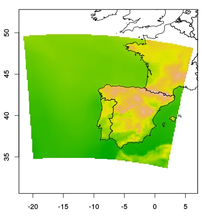
projectRaster吗?如果有,你是怎么做的?如果没有,可以试试看。 - SpacedmanprojectRaster(wrf_temporary, crs="+proj=longlat +datum=WGS84"),但没有成功 :( - Ricardo Faria