我想仅旋转地图或更改方向,例如45度,而不旋转其他元素。这可行吗?
例如:
例如:
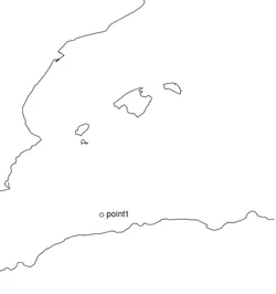
- 不旋转图像
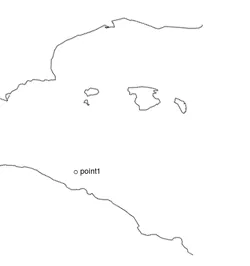
- 旋转图像
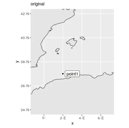
我的初始代码未进行旋转:
library("maps")
library("mapproj")
library("mapdata")

xlon = seq(-1, 7, 0.01)
xlat = seq(34, 42, 0.01)

map(database = "worldHires",
    xlim = c(min(xlon), max(xlon)), ylim = c(min(xlat),max(xlat)),
    mar = c(0, 0, 0, 0))
text(2, 37, labels = "point1", pos = 4)
points(2, 37)
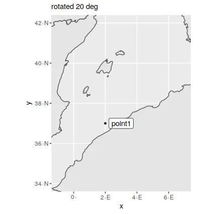
map()中有一个名为orientation的选项可以让你这样做,但是当我尝试使用orientation = c(median(xlat), median(xlon), degrees = 45)时,我得到了这个错误信息:Error in plot && coord$error : invalid 'y' type in 'x && y'。 - ulfelder