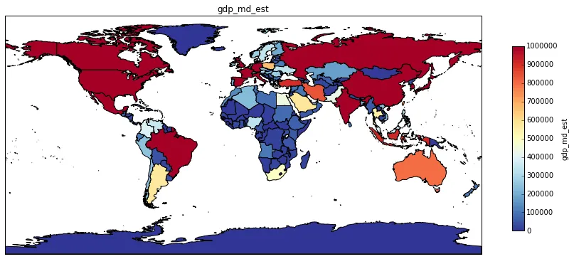
我使用MatlobLib和shapereader中的“自定义”形状遇到了问题。导入和查看插入的面是没有问题的,但是我无法在我的图形上放置一个颜色条。
我已经尝试了教程中的几种方法,但我相信这个问题有一个聪明的解决方案。
也许有人可以帮助我,我的当前代码如下:
from formencode.national import pycountry
import itertools
from matplotlib import cm, pyplot
from matplotlib import
from mpl_toolkits.basemap import Basemap
from numpy.dual import norm
import cartopy.crs as ccrs
import cartopy.io.shapereader as shpreader
import matplotlib as mpl
import matplotlib.colors as colors
import matplotlib.mlab as mlab
import matplotlib.pyplot as plt
import numpy as np

def draw_map_for_non_normalized_data_with_alpha2_counrty_description(data, title=None):

m = Basemap()
ax = plt.axes(projection=ccrs.PlateCarree())

list = []
sum = 0
for key in data:
    sum += data[key]

for key in data.keys():
    new_val = (data[key]+0.00)/sum
    list.append(new_val)
    data[key] = new_val

#===========================================================================
# print str(min(list))
# print str(max(list))
#===========================================================================

cmap = mpl.cm.cool
colors = matplotlib.colors.Normalize(min(list)+0.0, max(list)+0.0)

labels = []
features = []
for country in shpreader.Reader(shapename).records():
    a3_code = country.attributes["gu_a3"]
    try :
        a2_code =  pycountry.countries.get(alpha3=a3_code).alpha2
    except:
        a2_code = ""

    if a2_code in data:
        val = data[a2_code]

        color = cm.jet(norm(val))

        print str(val) + " value for color: " + str(color)

        labels.append(country.attributes['name_long'])
        feat = ax.add_geometries(country.geometry, ccrs.PlateCarree(), facecolor=color, label=country.attributes['name_long'])

        features.append(feat)
#ax.legend(features, labels, loc='upper right')
#===========================================================================
# fig = pyplot.figure(figsize=(8,3))
# ax1 = fig.add_axes([0.05, 0.80, 0.9, 0.15])
#===========================================================================

#cbar = m.colorbar(location='bottom')
cb1 = mpl.colorbar.ColorbarBase(ax, cmap=cmap,norm=colors,orientation='horizontal')
cb1.set_label('foo')

m.drawcoastlines()
m.drawcountries()
if title:
    plt.title(title)

plt.show()
从代码中您可以看到,我已经尝试了几种方法,但它们都没有对我起作用。
也许有人能给我一个提示。
感谢您的帮助,
此致敬礼
Basemap和Cartopy,这似乎已经有点棘手了。如果你这样做,可能会有所帮助,可以相应地标记你的帖子。 - Rutger Kassies