我一直在处理具有纬度和经度值的地震数据,想要将这些纬度和经度值转换为空间坐标。
假设我有以下数据集df:
longitude latitude
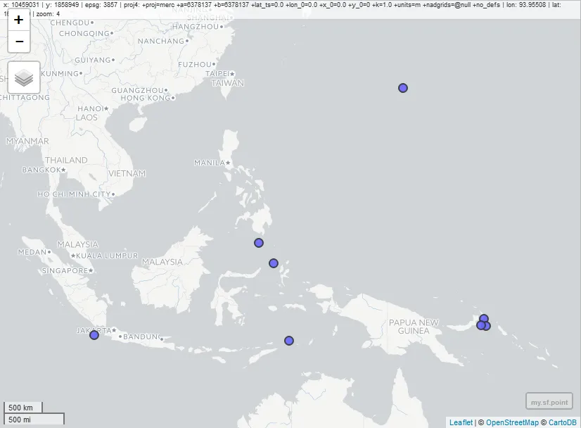
128.6979 -7.4197
153.0046 -4.7089
104.3261 -6.7541
124.9019 4.7817
126.7328 2.1643
153.2439 -5.6500
142.8673 23.3882
152.6890 -5.5710
我想把它转换成空间点。类似这样:
 lon        lat
[1,] 2579408.24 1079721.15
[2,] 2579333.69 1079729.18
[3,] 2579263.65 1079770.55
[4,] 2579928.04 1080028.46
[5,] 2579763.65 1079868.92
[6,] 2579698.00 1079767.97
我使用了以下代码:
library(sp)
df.sp<-df
coordinates(df.sp)<-~x+y
但是我收到了以下错误:
Error in `[.data.frame`(object, , -coord.numbers, drop = FALSE) :
  undefined columns selected
x和y未被定义。在这个例子中,你的x和y是df$longitude和df$latitude。因此,一个解决方案是运行:coordinates(df.sp)<-~ df$longitude + df$latitude- Jessica Burnett