我正在尝试为我的 sf 对象定义正确的CRS。我想在以下图层(国家:荷兰)之上绘制点:
Simple feature collection with 380 features and 3 fields
geometry type:  MULTIPOLYGON
dimension:      XY
bbox:           xmin: 13565.4 ymin: 306846.2 xmax: 278026.1 ymax: 619232.6
epsg (SRID):    NA
proj4string:    +proj=sterea +lat_0=52.15616055555555 +lon_0=5.38763888888889 +k=0.9999079 +x_0=155000 +y_0=463000 +ellps=bessel +units=m +no_defs
输出:
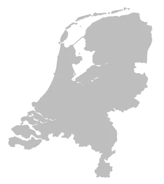
这一层有正确的投影。
但是POINT图层没有正确的CRS投影,可能是因为它没有proj4string?
Simple feature collection with 566 features and 5 fields
geometry type:  POINT
dimension:      XY
bbox:           xmin: 3.5837 ymin: 50.86487 xmax: 7.120998 ymax: 53.44835
epsg (SRID):    NA
proj4string:    NA
如何设置与前一个地图相同的投影方式,以便在其上绘制坐标点?

sf包中找不到st_set_crs函数。这个函数现在已经过时了吗? - mikeygeotidy包的一部分。 - Maëlsf::st_set_crs()存在。 - Jessica Burnett