我需要帮忙解决R语言中的转换问题。
我已经计算出了一个点云的凸包(convex hull)。我想利用形成凸包的点构建一个多边形对象(polygon object),并将其保存为可被GIS软件(如ArcMap等)读取的shapefile。
我的代码如下:
gps <- read.csv(f) ##reads the lat-long coordinates file
x <- gps$LONGITUDE ##tells R which columns is which
y <- gps$LATITUDE
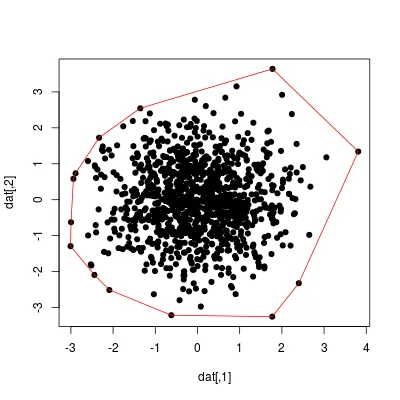
z<-chull(x,y) ##calculates the convex hull --this is just a list of x-y points, N vertex
dfHull <-cbind(x[z],y[z]) ##the convex hull expressed as a list of selected x-y points
plot(dfHull) ##this plots the vertex of the polygon, just a check
lines(dfhull) ##plots the polygon in screen
##generate polygon shapefile, from dfHull, and save it externally as a shapefile ???
源文件仅包含纬度-经度坐标,例如:
52.73336     N  0.365974
52.7332  N  0.366051
52.73289     N  0.36636
52.73297     N  0.366258
52.73298     N  0.366243
52.733   N  0.366112
52.73308     N  0.365942
52.73317     N  0.365881
52.73321     N  0.36593
52.73328     N  0.365942
52.73352     N  0.36579
52.73362     N  0.365678
52.73391     N  0.365536
52.7373  N  0.36543
52.73289     N  0.36728
我知道有一些包(rgdal、maptools等)可以帮助做这些事情,但我对空间相关的东西非常不熟悉。实际上,我只需要生成多边形对象并将其保存为shapefile。
非常感谢任何帮助。先谢谢了,dev。
shapefiles包提供了一个简单的示例,展示如何将简单的R对象写入shapefile。 - nicola