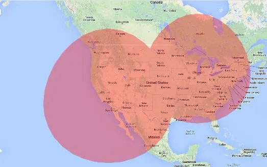
我有一个包含多个圆的地图(下面是一个仅包含两个圆的示例,但至少有100个圆)。当它们相交时,不透明度会增加一倍,所以当我在5或6个圆之间相交时,它就变成了约100%的不透明度。
是否有一种方法可以使第二个圆不显示在第一个圆上方?实际上我认为没有,但也许有人已经考虑过这样的问题...
左边:我现在拥有的内容----------------------------------------------右边:我想要的内容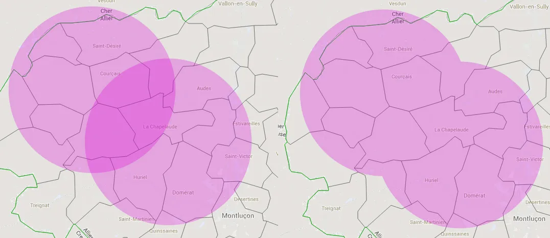 如果您想尝试:
http://jsfiddle.net/ZWt6w/
如果您想尝试:
http://jsfiddle.net/ZWt6w/
感谢您的帮助 ;)
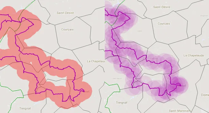
是否有一种方法可以使第二个圆不显示在第一个圆上方?实际上我认为没有,但也许有人已经考虑过这样的问题...
左边:我现在拥有的内容----------------------------------------------右边:我想要的内容
如果您想尝试:
http://jsfiddle.net/ZWt6w/
var populationOptions = {
      strokeWeight: 0,
      fillColor: '#FF0000',
      fillOpacity: 0.5,
      map: map,
      center: citymap[city].center,
      radius: citymap[city].population
    };
    // Add the circle for this city to the map.
    cityCircle = new google.maps.Circle(populationOptions);
感谢您的帮助 ;)
谢谢您的协助;)