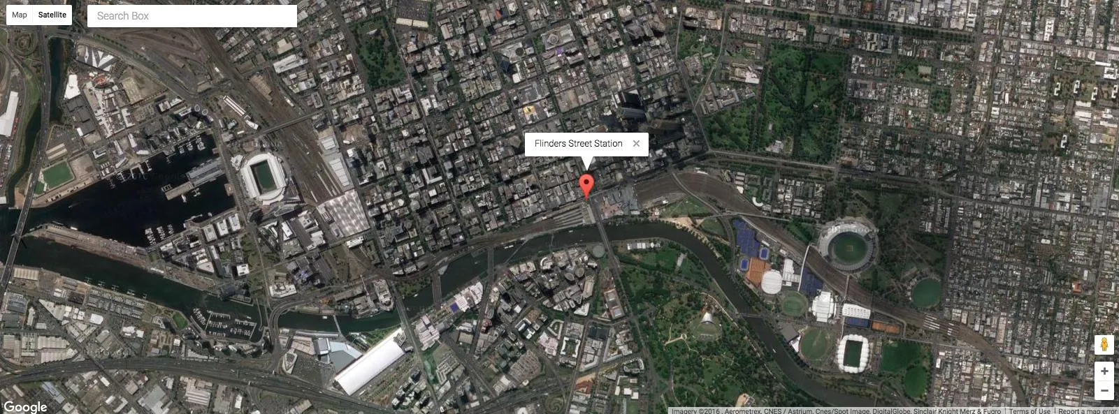
我的googleway软件包具有谷歌地图小部件,并且还可以与Shiny配合使用。
您需要有效的Google API密钥才能使用它
library(googleway)
key <- "your_api_key"
df <- data.frame(lat = -37.817714,
lon = 144.967260,
info = "Flinders Street Station")
google_map(key = key, height = 600, search_box = T) %>%
add_markers(data = df, info_window = "info")
卫星图
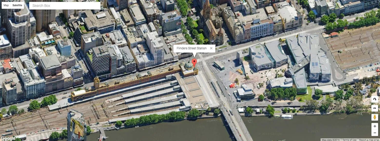
卫星图/街景
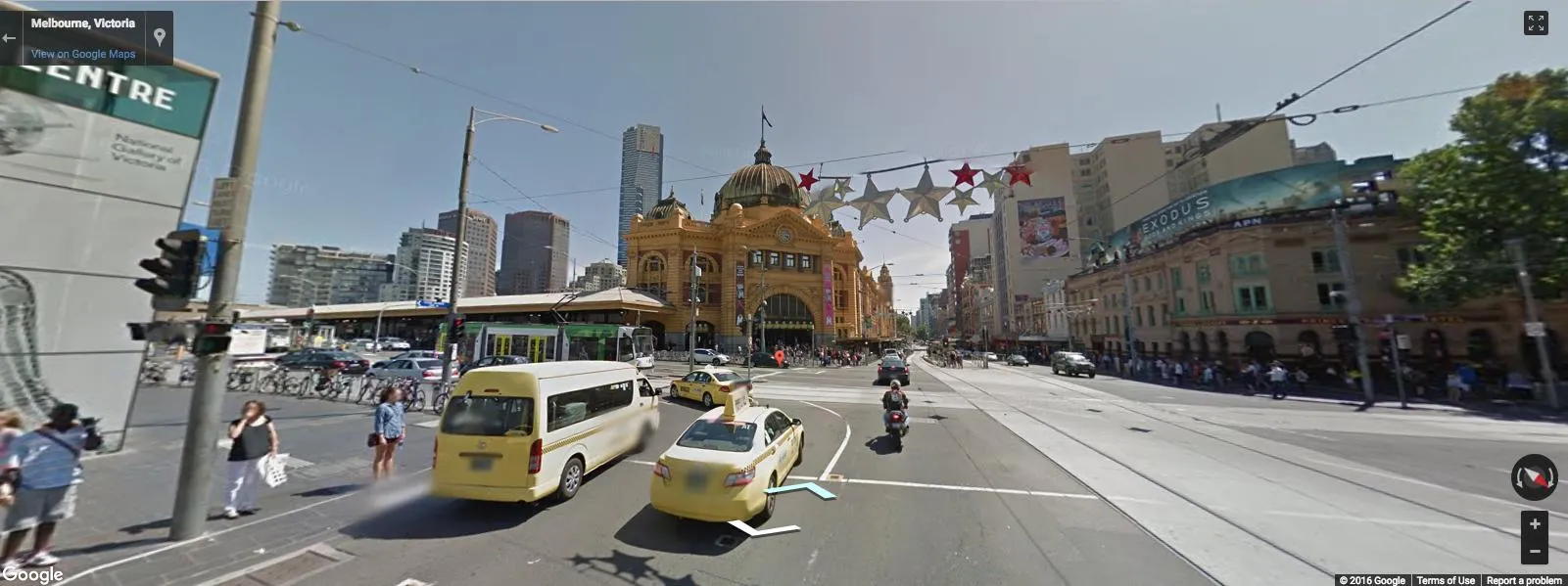
街景图
(请注意标记仍然存在)
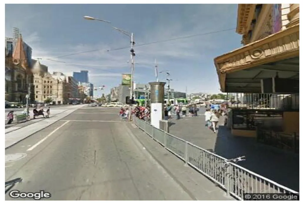
更新 - 静态街景地图
还有一个google_streetview()函数,可以下载静态街景图像(使用Google Street View Static Image API)
google_streetview(location = c(-37.8177, 144.967),
                  size = c(400,400),
                  panorama_id = NULL,
                  output = "plot",
                  heading = 90,
                  fov = 90,
                  pitch = 0,
                  response_check = FALSE,
                  key = key)
ggmap很有用,因为你可以在地图上添加内容,但是 Streetview 提供的图像实际上无法在其上绘制。如果没有答案,我建议编写访问 API 的函数。 - Jonathan Carroll